A Physiographic Platform for Diversity
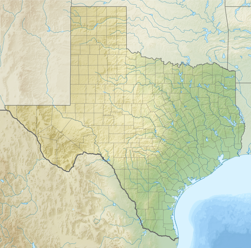
Texas is huge, encompassing 261,232 square miles of land and 7,365 square miles of water within its land boundaries. It stretches 770 miles from the extreme westward point of the Rio Grande near El Paso to the extreme eastern point of the Sabine River in Newton County. North to south, it stretches 801 miles from the northern edge of the Panhandle to the extreme southern turn of the Rio Grande on the border between Cameron County and Mexico.
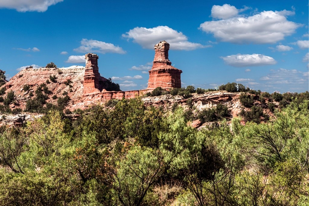
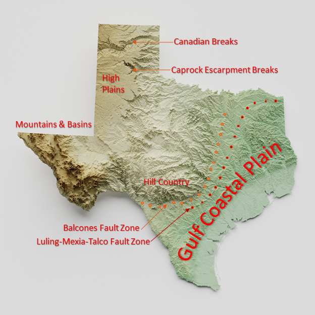
Texas is diverse, too. Altitude ranges from broad expanses of sea-level wetlands along the Gulf Coast to 8,749 feet on the top of Guadalupe Peak in West Texas. Rugged mountains and desert basins are found in West Texas. Flat wind-swept high plains, bounded by the spectacular canyons of the Caprock Escarpment dominate the Panhandle. Rolling prairies and scattered woodlands dominate the central part of the state, uplifted and eroded along the Balcones Fault that traces just west of Interstate 35. East and south of the fault, grassland, forest, and savannah landscapes are gently rolling as they slope and flatten to the coastal plain along the Gulf and the subtropical climates of the Lower Rio Grande Valley. The physical geography, or physiography, of Texas supports an abiotic diversity of geology, climate, and soils that produce a biotic diversity of plants and animals reflected in Texas’ ecoregions.
Subscribe to get access
Get access to the rest of this chapter and the entire contents of Texas Wildlife Science for a one-time subscription fee.

Leave a comment